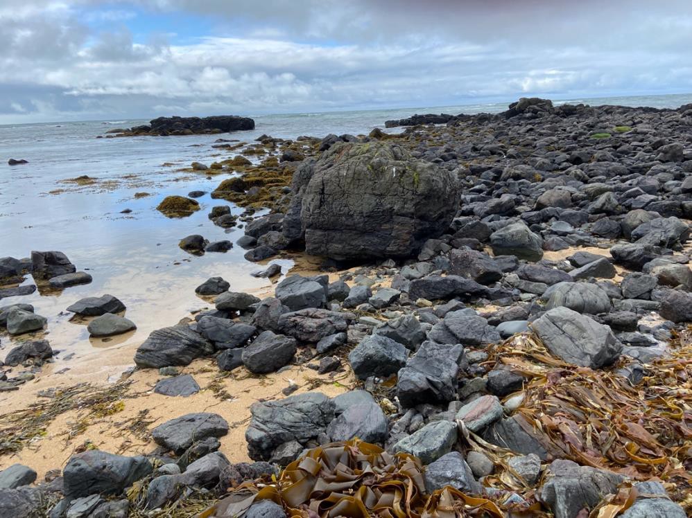
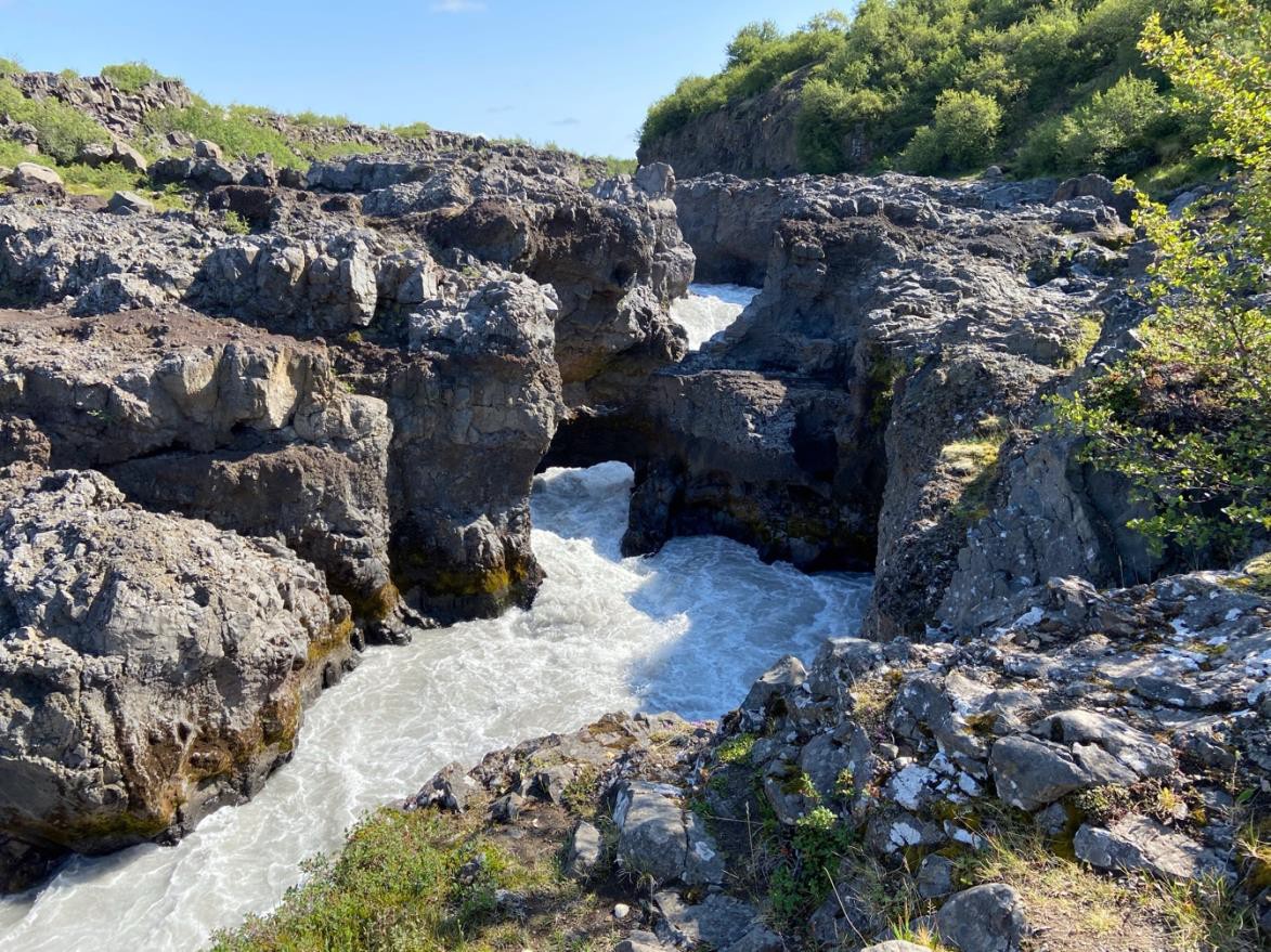
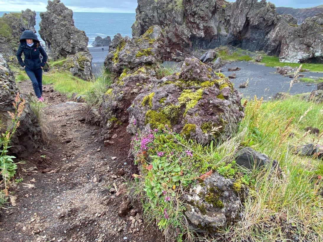
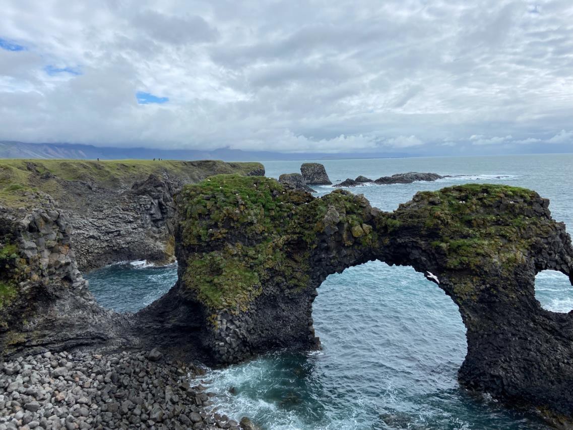
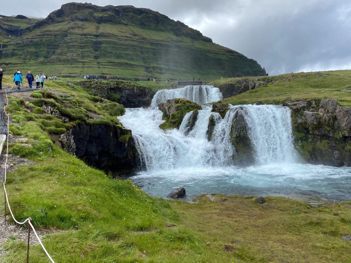
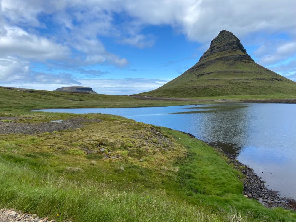
After completing our walk on the glacier, the van headed back toward Vik. There were stops along the way. Though we had been on the same road just two days ago, the weather and cloud cover changed the landscape.
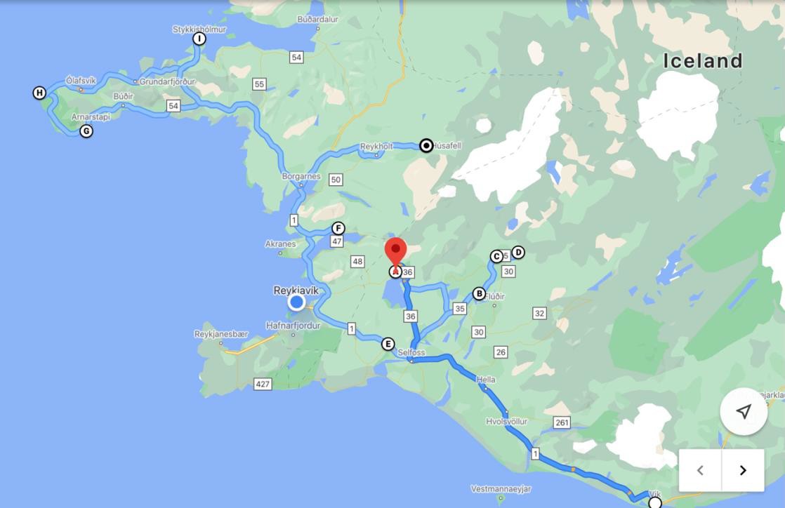
Vik could be considered a demarcation point in Iceland’s geography. To the east, there is a narrow strip of land between the high plateau and the shore. Coupled with the immense lava field, there is little arable land. The farms are smaller and further apart.
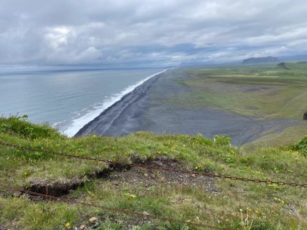
To the west, there are much wider expanses of land. Farms are more prosperous and the weather is a bit less bitter. Directly west of Vik is the beautiful, black sand beach, Reynisfjara. A cave on the beach is bordered by large basalt columns and fascinating rock cross sections. The day we visited, the sky was overcast. Waves beat the shore and the wind tore at our jackets. Weather like that was made for conjuring legends and story telling.
A popular tale from the region is “The Legend of the Sealskin”.

Pictures of the cave
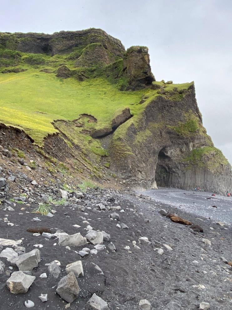
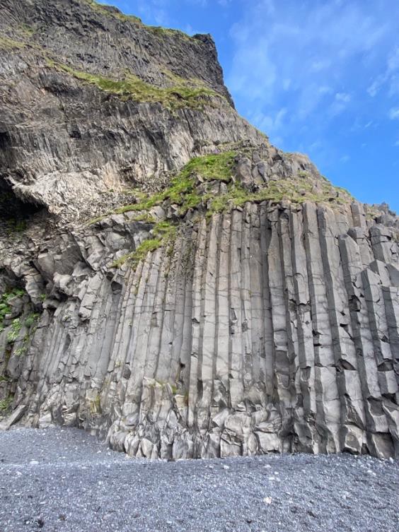
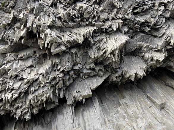
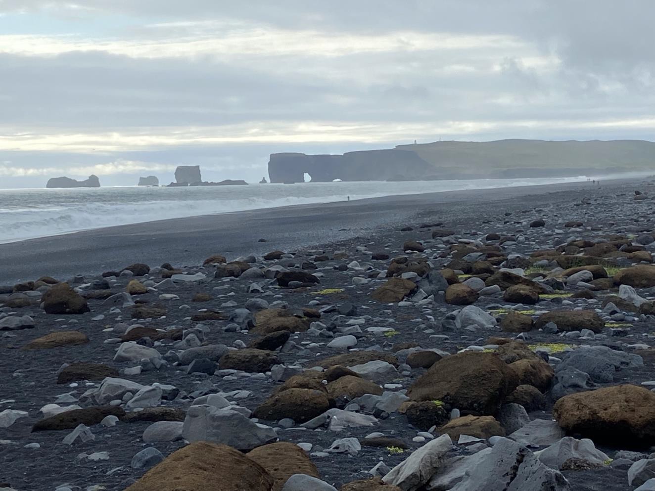
Just to the west of Reynisfjara is the southern most uninhabited tip of mainland Iceland, Dyrhólaey, formerly known as Cape Portland. The spit of land has a lighthouse and is home to a puffin colony.
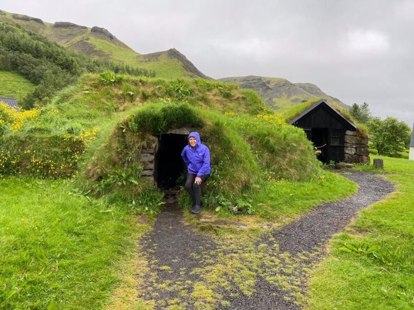
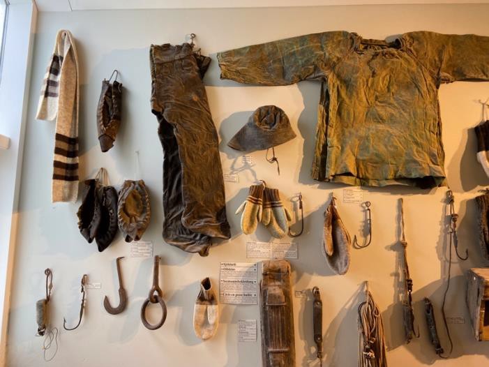
The next morning, we were on our way to a remarkable Icelandic museum. The Skogar Museum is a cultural heritage collection of 18,000 regional folk craft artifacts exhibited in 3 museums. There are also 6 historical buildings. It was WONDERFUL!!! Their displays were very aesthetic. Several turf huts from the 1800’s had been reconstructed on the site. I was most impressed by the North Face rain gear of the 17th and 19th century, cloth soaked in cod liver oil. The material helped to repel the rain, but I couldn’t fathom the thought of taking a boat out on the North Atlantic with only cod liver treated cloth for protection from the elements. The visit highlighted the hardiness of the Icelanders.
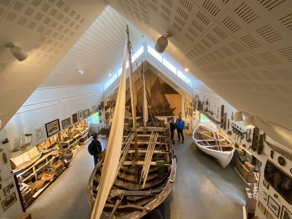
The eight-oared fishing-boat, the Pétursey, was built in 1850 and was in use through 1940.
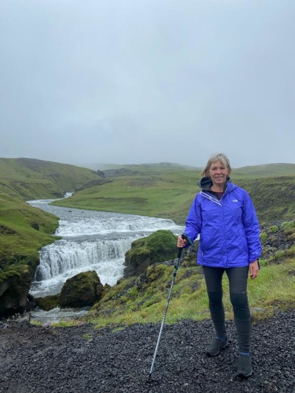
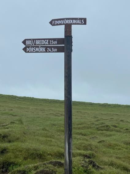 The Skogar waterfall is next to the museum. Skógafoss is one of the biggest waterfalls in the country, with a width of 25 metres (82 feet) and a drop of 60 m (200 ft). It is one of my favorite spots in Iceland. The setting and the prior visit to the museum made the brief hike memorable. 527 steps take you to the top of the falls. There was time to travel the plateau path for a bit. The cataracts were impressive and the design of the sign post made me smile.
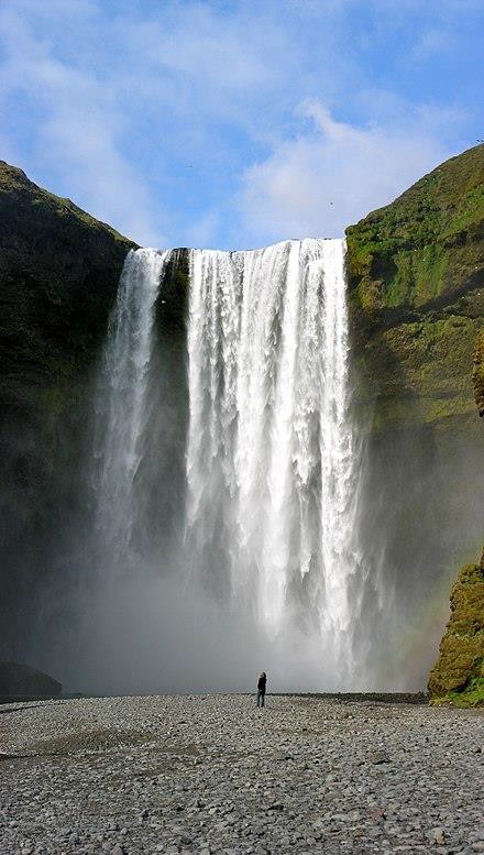
Picture of Skogafoss pulled off the web
For lunch, we stopped at the largest tomato greenhouse in Iceland. Friðheimar or Freedom House was conceived in 1995 when Knútur and Helena bought the property.The farm already had two greenhouses. Horticulture using natural hot water had commenced at Friðheimar in 1946. In 1995- 2001 they built a 1,174 m² greenhouse. In 2002-2006 they started growing tomatoes all year round. Lighting was installed in the older buildings, and a new 1,000 m² greenhouse with a lighting system was constructed.
What impressed me about this venture was the adaption of technology and continued collaboration and experimentation with experts throughout Europe. The tomato seeds are from France, the soil used for the plants is from Finland and the bees used for pollination are from the Netherlands.
They understand everything about their tomato plants but they continue to grow the business and add to their expertise.
Our lunch in the café, where tables are located in the greenhouse, was quite good. If you’re ever in Iceland, stop by Friðheimar. It’s not far from Reykjavik. The picture below is of Dutch bees just
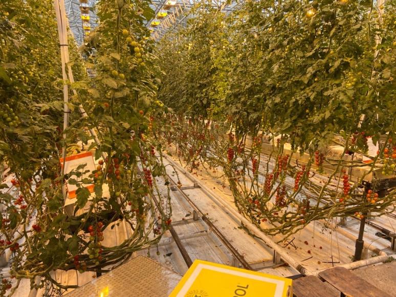
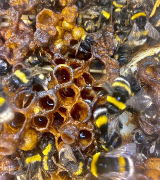
before their release into the greenhouse.
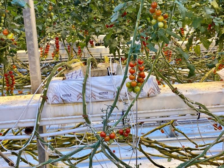
The tomato plants have a 10 month life and grow to 14’.
The white plastic container on the left has Finnish soil. Nutrients and water are injected in precise amounts into the medium.
And, we still haven’t gotten to either the Fjords or the famous Golden Circle!
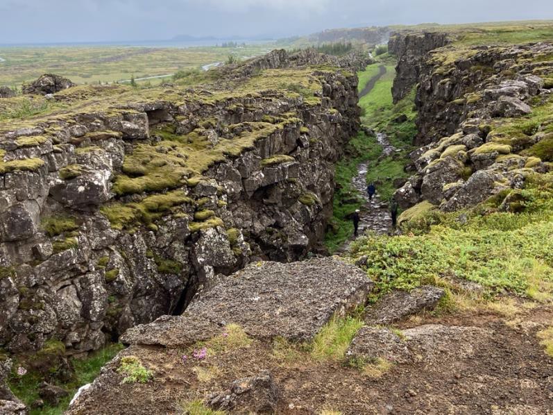
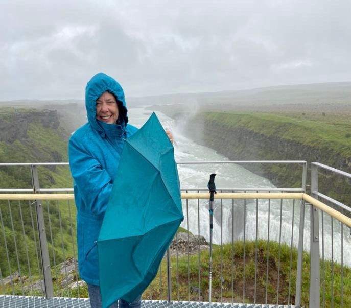
Onward, the next day, we hit three of the major Icelandic attractions — Þingvellir National Park (renown as a backdrop for Game of Thrones), Geysir Geothermal area and the Gullfoss waterfall. The weather continued to be wet and unseasonably cold.
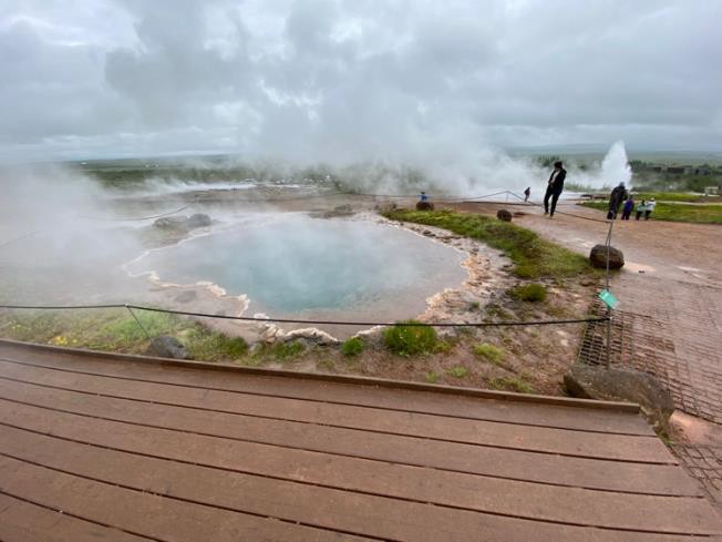
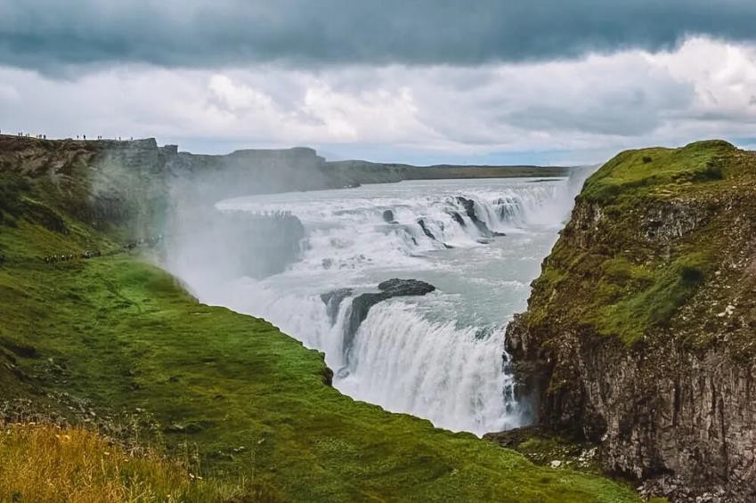
The picture of Gullfoss below, without Andrea, shows what you’d see on a sunny day. The Geothermal Park has one functioning geyser and several hot pools. The primary geyser was active after a 2000 eruption but became dormant again after a few years.
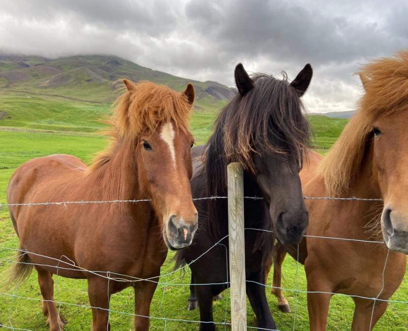
At last, we’re officially in Fjordland with a lunch visit to a sheep farm. The owners also raise Icelandic horses. The horses are famous for their hardiness, small stature and five gaits. The have two additional gaits that are made possible through a genetic mutation. In one of these gaits, a rider could carry a glass of beer without spilling a drop.
With Iceland’s harsh weather, sheep must be protected from the cold.
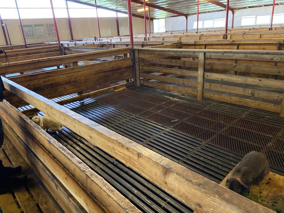
They’re housed indoors from November through March, the dates vary depending on weather conditions. After Spring, all the sheep are released to graze in the hills. In October, a sheep roundup takes place where in addition to collecting your sheep, the locals celebrate with song and drink. Visitors are welcome to watch or assist in the roundup. It looked like fun.
The sheep barns have grated floors which are helpful in keeping the pens clean and disease free. Mucking has been replaced with a tractor that gathers the dung and fertilizes the fields.
And now some pictures without any comment from the fjord.
